There are many great places to walk around Wichelstowe but a few of our favourite routes are described below:
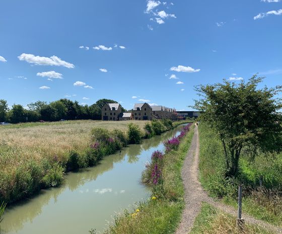
Wilts & Berks Canal Towpath to the Town Centre
The towpath runs alongside the Wilts and Berks Canal and provides a level route through the site. Continuing north across Kingshill the route of the old towpath will take you all the way to the Town Centre.
Say hello to the herons, ducks and swans you will see on the way and admire our impressive collection of bridges.
Towpath Route Map
Southern Flyer
If you’re looking for a faster cycle route then following the Southern Flyer cycle route will take you directly into the centre of the town.
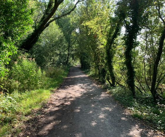
Old Town Railway Path to Old Town
Running along the northern edge of Wichelstowe, this tree lined route offers glimpses of views across Wichelstowe and to the hills beyond. There are plenty of connections onto this route linking through to Mannington Retail Park to the West, down to the canal towpath and up into Old Town at its eastern end.
There are glimpses of the railway heritage with the bridges associated with the Midland and South Western Junction Railway, crossing over the canal and under the roads in Old Town. Improvement works are currently underway to make this an even better route for walking, cycling or running.
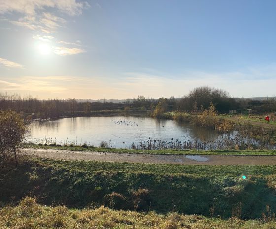
Around East Wichel Lakes, across the motorway to Wroughton
The lakes in East Wichel are perfect for a leisurely Sunday stroll but if you continue along the canal towpath you can cross the motorway and walk all the way to Wroughton.
East Wichel to Wroughton Route Map
For more information about walking and cycling you can visit the Swindon Travel Choices website.


